All official European Union website addresses are in the europa.eu domain.
See all EU institutions and bodies
An official website of the European Union | How do you know?
Environmental information systems
EN


Hesketh Out view
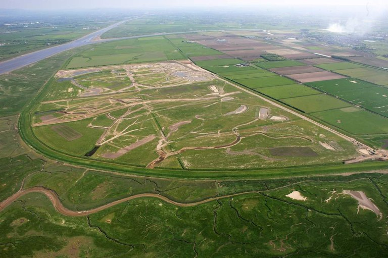
Air view during the development phase. It is looking east up the River Ribble with the River Douglas confluence beyond the site and the village of Hesketh Bank visible in the top right corner. The creeks and lagoons are being excavated. Author and source: Tony Baker, RSPB. Case study: https://climate-adapt.eea.europa.eu/en/metadata/case-studies/saltmarsh-recreation-by-managed-realignment-hesketh-out-marsh-uk
Language preference detected
Do you want to see the page translated into ?
Exclusion of liability
This translation is generated by eTranslation, a machine translation tool provided by the European Commission.
Exclusion of liability
This translation is generated by eTranslation, a machine translation tool provided by the European Commission.