All official European Union website addresses are in the europa.eu domain.
See all EU institutions and bodies
An official website of the European Union | How do you know?
Environmental information systems
EN


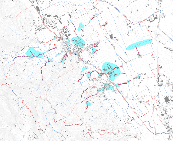
Historical flood map (2000-2015)
Flood-prone areas (historically flooded) as recognized by the citizens during the public meetings; waterways causing the flooding issues are highlighted in red. Author and source: Green-Dev datasets – Isola Vicentina MWMP (Tav.17). Case study: https://climate-adapt.eea.europa.eu/en/metadata/case-studies/mainstreaming-adaptation-in-water-management-for-flood-protection-in-isola-vicentina
Language preference detected
Do you want to see the page translated into ?
Exclusion of liability
This translation is generated by eTranslation, a machine translation tool provided by the European Commission.
Exclusion of liability
This translation is generated by eTranslation, a machine translation tool provided by the European Commission.