All official European Union website addresses are in the europa.eu domain.
See all EU institutions and bodies
An official website of the European Union | How do you know?
Environmental information systems
EN

Preparing the ground for local decision-makers to implement tailor-made heat adaptation measures in an urban context.
Key Learnings
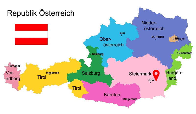
About the Region
Climate Threats
Drone-based analysis is preparing the ground for adaptation
Understanding the development of temperature hotspots and the factors influencing them is crucial for implementing effective adaptation measures. Following the suggestion of the Energy Region Weiz-Gleisdorf, and together with their support through the KLAR! programme – an initiative of the Austrian Climate and Energy Fund that supports regions and municipalities in adapting to climate change through local action, awareness-raising, and the practical application of research – the city of Weiz and AEE INTEC, an institute for sustainable technologies, launched the innovative Smart City Sensing process. This initiative represents an alternative approach to conventional technologies such as microclimatic simulation tools, based on thermographic mapping using high-flying aircraft in combination with on-site measurements.
Smart City Sensing applies an innovative methodology that is significantly more efficient than conventional, time-, energy-, and cost-intensive approaches, while providing reliable data and services. The method enables a precise three-dimensional representation of the urban thermal environment and its key influencing factors based on multispectral, infrared, and visible Red-Green-Blue image data. This enables modelling the effects of targeted measures preventing or reducing the development of heat islands, meaning particularly hot areas in the city. Smart City Sensing evaluates, for example, the specific cooling effects of green measures such as green walls, newly planted trees, and lawns, as well as structural and engineering solutions, including shading elements, water installations, or lighter-colored road surfaces. In addition, the method identifies the locations where each measure achieves the greatest cooling effect.
Facilitating urban planning decisions
Smart City Sensing improves urban planning decisions and supports more informed decision-making processes in Weiz. The method provides the required scientifically sound data for targeted urban planning decisions aiming at climatically improving buildings and districts within the city. The understandable and data-driven analysis reduces the risk of ad-hoc decisions, which can result in inappropriate investments and cause maladaptation, meaning the implementation of well-intended adaptation measures with negative effects.
Implementation Steps
- Defining an analysis area: City representatives and the SmaCiSe service providers define the analysis area, preferring densely populated and highly sealed areas.
- Data collection: During a representative heat period, a drone collects thermal data as well as the solar radiation reflected from all surfaces within the defined area. For this purpose, special cameras are used that can capture up to 800 images per flight. In addition, on-site measurements record further relevant parameters for the precise determination of thermal comfort in the study area, including solar radiation, air temperature, humidity, airflow velocity, and radiant temperature.
- Creating the 3D and interactive city model: The collected data enables creating an interactive three-dimensional city model that visualises thermal comfort, meaning how warm or cold people feel in the urban environment. A specialised spatial calculation model visualises the results in layered maps, providing information on local heat stress and its causes, such as overheated façades or limited vegetation (Figure 1). This forms the basis for the targeted planning of specific adaptation measures aimed at reducing urban heat stress.

Figure 1: Three-dimensional city model, depicting local heat (red) and cool areas (purple). Image Credit: AEE INTEC, City of Weiz.

Figure 2: Elevated Plant bed at the Weiz-Zentrum train stop. Image Credit: City of Weiz (Measure as part of the KLAR! programme).
Smart City Sensing supports the prioritisation of interventions and the implementation of forward-looking urban planning strategies. Raising awareness about the impacts of urban heat and illustrating potential improvements through location-specific visualisations of the city structure based on Smart City Sensing data allows the development of tailored adaptation solutions. Building on this approach, concrete measures have already been implemented, such as the de-paving and greening of the Weiz-Zentrum train stop. Approximately 80 m² of paved surface was transformed into a climate-adapted green space featuring an elevated planting bed (Figure 2), resilient vegetation, and a smart irrigation system.
The innovative technology supports a deeper understanding of the interactions between buildings and their surroundings. For future planning, the data models and database are available, among others, to urban planners and city officials to promote sustainable urban development – attracting local investment and creating jobs through adaptation measures, while simultaneously improving the overall quality of life in the city.
In Weiz, the microclimate and quality of life should be sustainably improved for the citizens. To ensure this, we need proper data and facts. This project should also serve as a reference project for other squares.
DI Gerd Holzer, Technical Director and 2nd Deputy of the City of Weiz
Summary
Further Information
Contact
Keywords
Climate Impacts
Adaptation Sectors
Key Community Systems
Countries
Funding Programme
Disclaimer
The contents and links to third-party items on this Mission webpage are developed by the MIP4Adapt team led by Ricardo, under contract CINEA/2022/OP/0013/SI2.884597 funded by the European Union and do not necessarily reflect those of the European Union, CINEA, or those of the European Environment Agency (EEA) as host of the Climate-ADAPT Platform. Neither the European Union nor CINEA nor the EEA accepts responsibility or liability arising out of or in connection with the information on these pages.
Language preference detected
Do you want to see the page translated into ?
Exclusion of liability
This translation is generated by eTranslation, a machine translation tool provided by the European Commission.
Exclusion of liability
This translation is generated by eTranslation, a machine translation tool provided by the European Commission.