GRaBS assessment tool
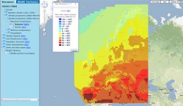
During the course of the GRaBS project, partners have been working with the University of Manchester to develop an innovative, cost effective and user-friendly risk and vulnerability assessment tool, to aid the strategic planning of climate change adaptation responses.
The Assessment Tool has an important role to play in the preparation of Adaptation Action Plans, with a particular focus on flooding and heat stress. The Tool assesses the vulnerability of urban areas to climate change impacts, with an additional assessment of relative patterns of spatial risk where suitable data is available. The Tool allows stakeholder networks and members of communities to visualise vulnerability, exposure and climate hazards within a particular location, thus raising awareness, aiding decision-making and facilitating community and stakeholder participation in formulating appropriate adaptation responses.
Led by the University of Manchester, the GRaBS partners have fed data into the Tool, which works at two spatial scales: European and GRaBS partner level. Ultimately, the Tool is designed as a platform to display spatial data and provide information to aid climate change adaptation planning and decision-making. Although developed principally to support the GRaBS partners in developing appropriate policies and guidelines to include within their Adaptation Action Plans, the Tool is now accessible via the University of Manchester website for European local and regional municipalities and other stakeholders involved in adapting towns and cities to climate change to use.

